Hills & Viewpoints
Paithalmala
പൈതൽമല
Pottanplavu, Kudianmala · 65 km from Kannur
Photo: Rawbin · CC BY-SA 3.0 · via Wikimedia Commons
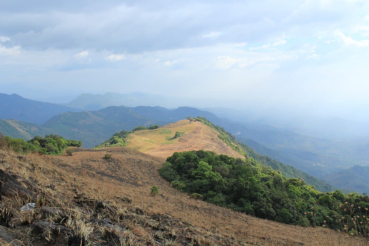
Kannur's highest hill station (1,372 m) on the Karnataka border — a 6 km trek through grasslands to a watch-tower in the clouds.
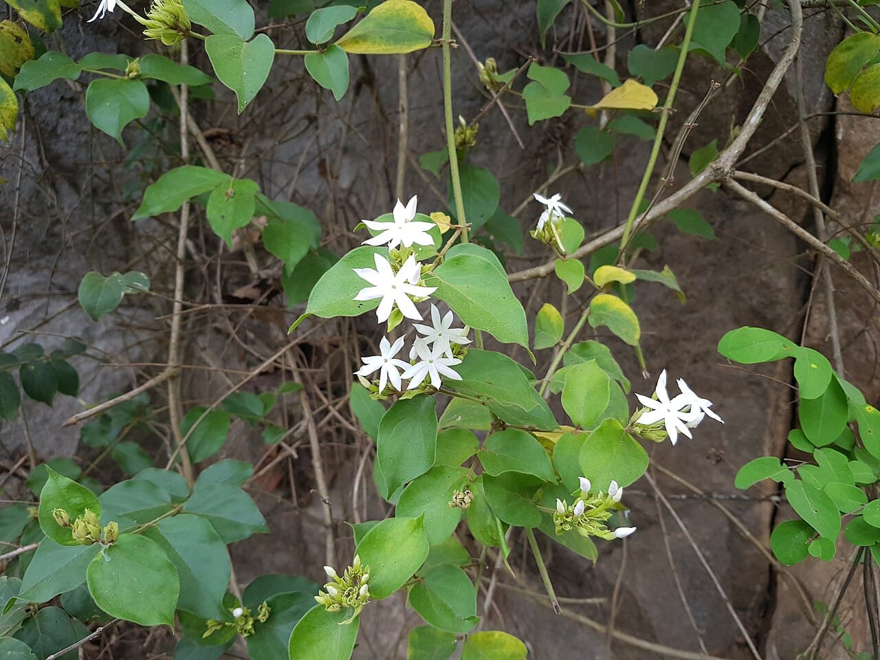
Paithalmala, near Pottanplavu in the Western Ghats, is the highest point in Kannur district. A 6 km trail from the base climbs through shola forest and rolling grassland to a DTPC watch-tower, with views into Coorg. The hill is rich in medicinal plants and birdlife; mist rolls in most afternoons.
Further reading: Wikipedia
Timings
Daylight hours; start early
Entry
Nominal (DTPC)
Best time
October to February
Managed by
DTPC Kannur
How to reach
65 km from Kannur via Taliparamba – Kudianmala – Pottanplavu (about 2 hours). Buses to Kudianmala, then jeep to the trail head.
Photos
Photo: Rawbin · CC BY-SA 3.0 · via Wikimedia Commons
Photo: Rawbin · CC BY-SA 3.0 · via Wikimedia Commons
Photo: Nativeplants garden · CC BY-SA 4.0 · via Wikimedia Commons
Photo: Nativeplants garden · CC BY-SA 4.0 · via Wikimedia Commons
Photo: Nativeplants garden · CC BY-SA 4.0 · via Wikimedia Commons