കണ്ണൂർ · Land of Looms and Lores
Explore Kannur
Between the Theyyams: the coast, the forts of three colonial powers, the weaving villages, the mangroves and the hills of the Western Ghats.
 Hills & Viewpoints
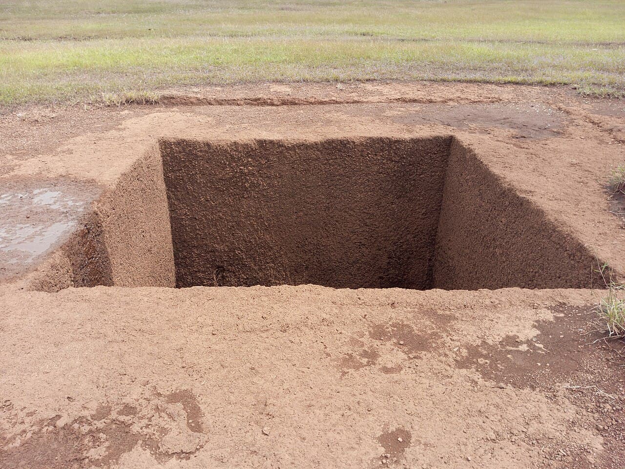
Madayipara
Madayi, Pazhayangadi · 25 km from Kannur
A laterite plateau that turns blue with Kakkapoovu blooms after the monsoon; the Vadukunda lake, Madayi Kavu and an ancient mosque.
 Hills & Viewpoints
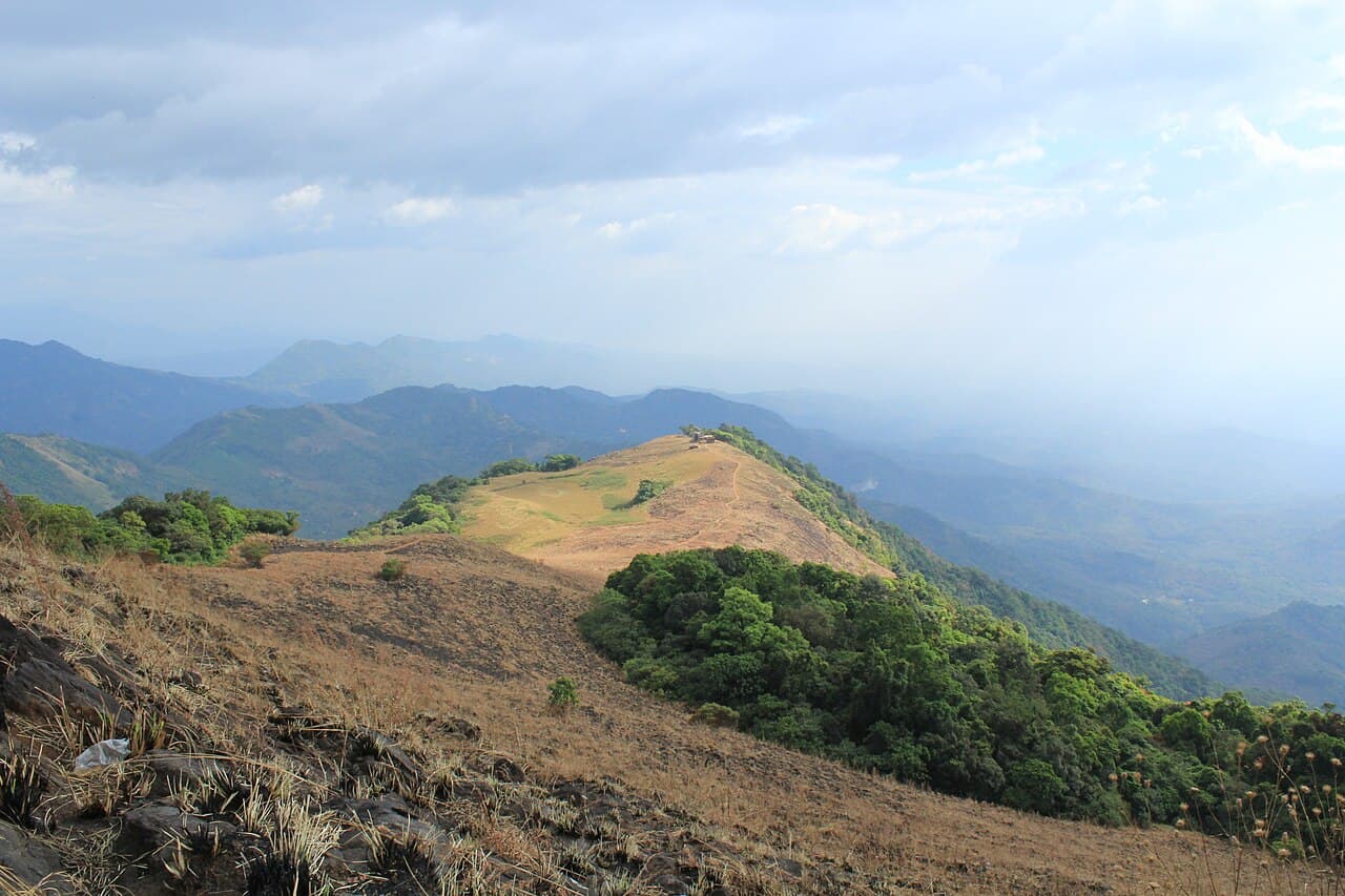
Paithalmala
Pottanplavu, Kudianmala · 65 km from Kannur
Kannur's highest hill station (1,372 m) on the Karnataka border — a 6 km trek through grasslands to a watch-tower in the clouds.
 Hills & Viewpoints
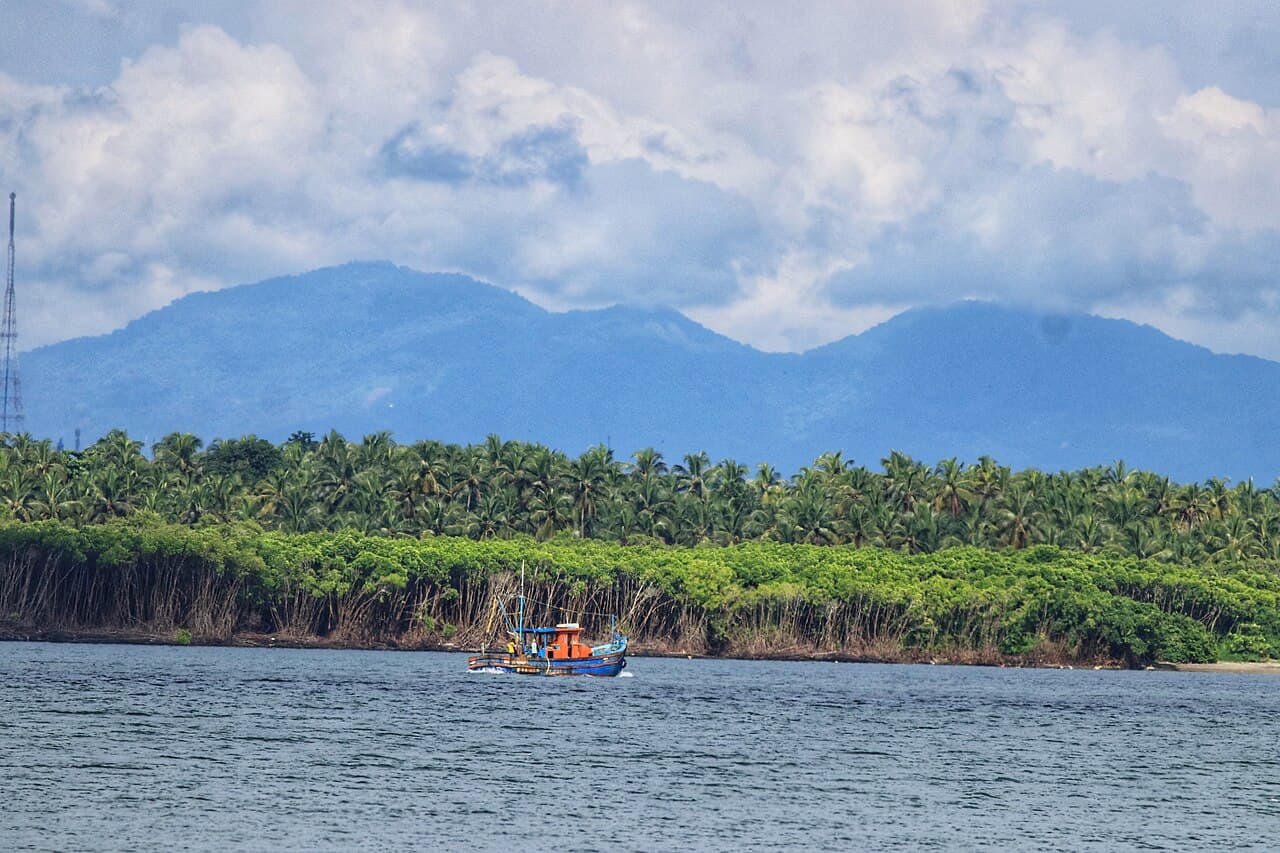
Ezhimala
Ezhimala, Payyanur · 40 km from Kannur
The 286 m "Mount Eli" of ancient sailors, seat of the Mushika kings and now the Indian Naval Academy.
 Hills & Viewpoints
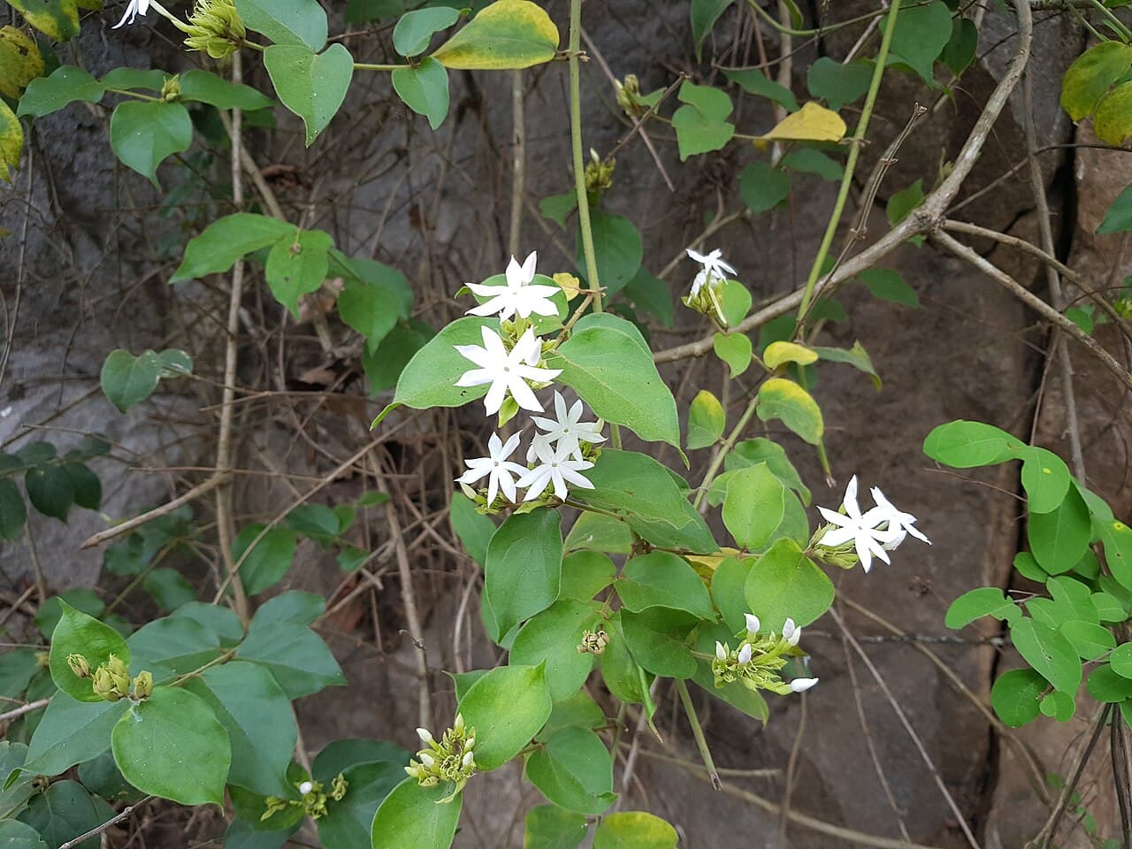
Palakkayam Thattu
Vellad, Nadukani · 55 km from Kannur
A mist-covered plateau at 3,500 ft with an adventure park, paragliding, camping and 360° views of the Ghats.